As of a few days ago, swisstopo1 has published new SWISSIMAGE data (free to download). This is the first issue following the transition of SWISSIMAGE to a true orthophoto product:
Starting with data from 2026, SWISSIMAGE is produced as a “true orthophoto”. In contrast to a conventional orthophoto where the image is rectified using a digital terrain model, a true orthophoto uses a digital surface model. As a result, buildings and other objects are also displayed without distortion.
For now, the new data covers the area of the canton of Geneva.
For people interested in working with the data rather than using it as a basemap, for example, the second update may be even more interesting:
Furthermore, at the radiometric level, the “near-infrared” band—historically included in the SWISSIMAGE RS product—has been added to SWISSIMAGE.
Thus, swisstopo will discontinue the SWISSIMAGE RS product.
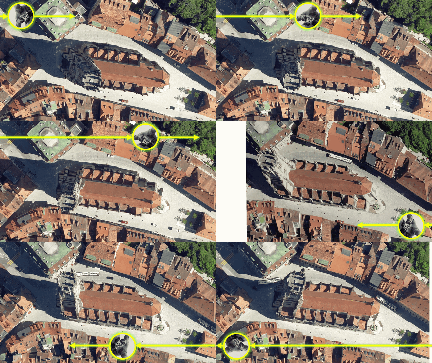
swisstopo has a nice article explaining the transition from the ADS100 sensor to the DMC-4S which makes this update to SWISSIMAGE possible. Among other things, it helpfully recaps aerial image geometry:
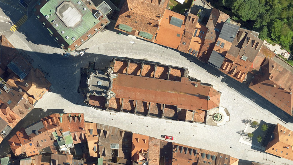
You can compare the new data with previous versions here. Switch between “ACTUAL” and “2025” in the TOC2.