Long in the making, the new Swiss national geospatial portal, SWISSGEO1, has launched.2
SWISSGEO is a collaboration between the federal government and the Swiss cantons (states) and aims to make Switzerland’s spatial data accessible in one place. I have written about this idea and why it is valuable on my employer’s blog, among other places (albeit in German), and SWISSGEO has been covered on Spatialists before as well: see here and here.
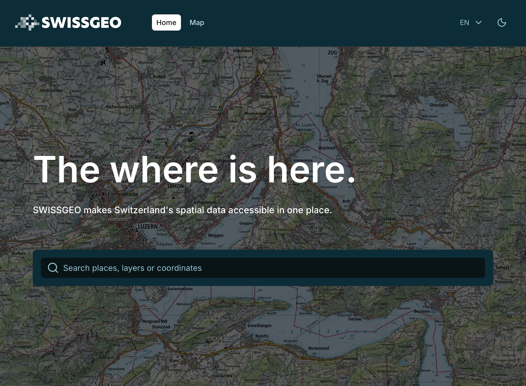
SWISSGEO is set to gradually merge the following websites and services, which are components of the National Geospatial Data Infrastructure of Switzerland (NGDI3 in German, INDG4 in French):
- geo.admin.ch – the federal geoportal
- geodienste.ch – the intercantonal portal for geodata and geodata services
- geocat.ch – the catalog of geographical data for Switzerland
- geoinformation.ch – information page on the Swiss Geoinformation Strategy5
- geostandards.ch – organization in the field of geostandards and INTERLIS6
There is an announcement in German and in French:
We’re launching with this first version: not all features have been integrated yet – these will be added gradually – but the new national platform, SWISSGEO, is available to use right away! 💻
What’s already available? 🛠️
✅ Everything in one place: federal and cantonal data brought together for the first time.
✅ Modern map viewer: A new, intuitive and user-centred map viewer for visualisation.
✅ User-friendly layer information: A completely new design for the legend and key data information.
✅ Single information portal: Consolidated information on geodata, the Swiss Geoinformation Strategy, as well as geo-standards, basic geodata, geodata models and metadata.
What’s next? ⏳
🔹 Integration of the familiar and popular tools from the map viewer map.geo.admin.ch
🔹 Modern, standardised web services
🔹 New, innovative solutions
At the same time, the SWISSGEO LinkedIn account has been launched.7
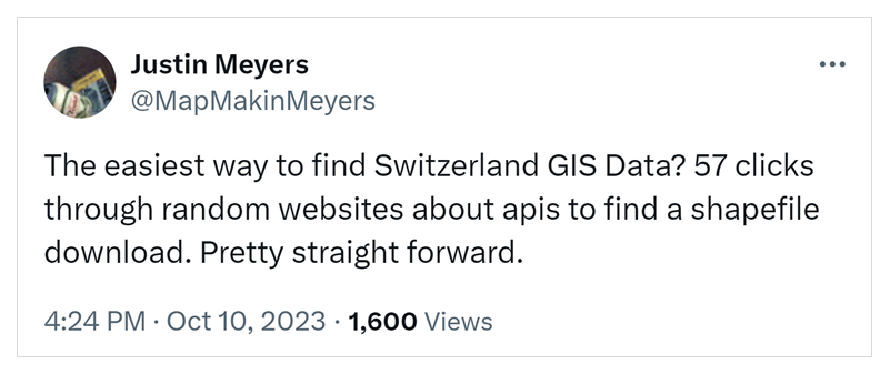
Click through to explore the first public version of SWISSGEO. It will be interesting to see how the new portal is received (and whether it will make Justin’s evergreen tweet obsolete).
Footnotes
Transparency note: Through my employer, I contributed to an early concept phase in 2023.↩︎
Officially launched, that is; it had been online before.↩︎
Nationale Geodateninfrastruktur.↩︎
Infrastructure nationale de données géographiques.↩︎
The Swiss Geoinformation Strategy, a national action strategy with annual action plans for the geoinformation sector in Switzerland.↩︎
INTERLIS is a Swiss standard for geodata modelling and data exchange.↩︎
Officially launched, that is; it had been online before.↩︎