The Ordnance Survey (OS), Great Britain’s NMA1, celebrates the 225th anniversary of its first-ever map. From the BBC: “The first Ordnance Survey map, which covered Kent and became a blueprint for modern mapping, is being celebrated 225 years after its publication. Published in 1801, the map was produced over fears of a Napoleonic invasion along the south coast.”
The Guardian, too, has an editorial on this anniversary. And of course, so does the OS itself. While these are interesting – especially if you are into cartography – I have to agree with the feeling expressed by Jonathan Crowe in The Map Room:
“One should not over-romanticise,” says the Guardian editorial marking the 225th anniversary of the Ordnance Survey’s first publication, even while doing so. I’m always a bit nonplussed by celebrations of paper maps; I think I’d feel better if they weren’t quite so antiquarian (this one uses words like charm, tactile and nostalgia). It is possible to make a functional argument for paper maps.
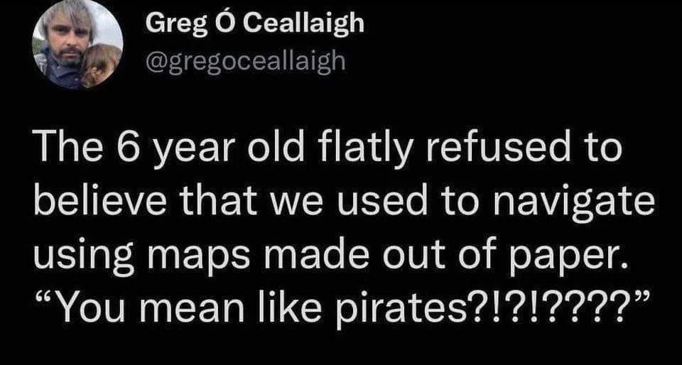
This reminds me of an evergreen post (see also here):
Footnotes
National Mapping Agency.↩︎