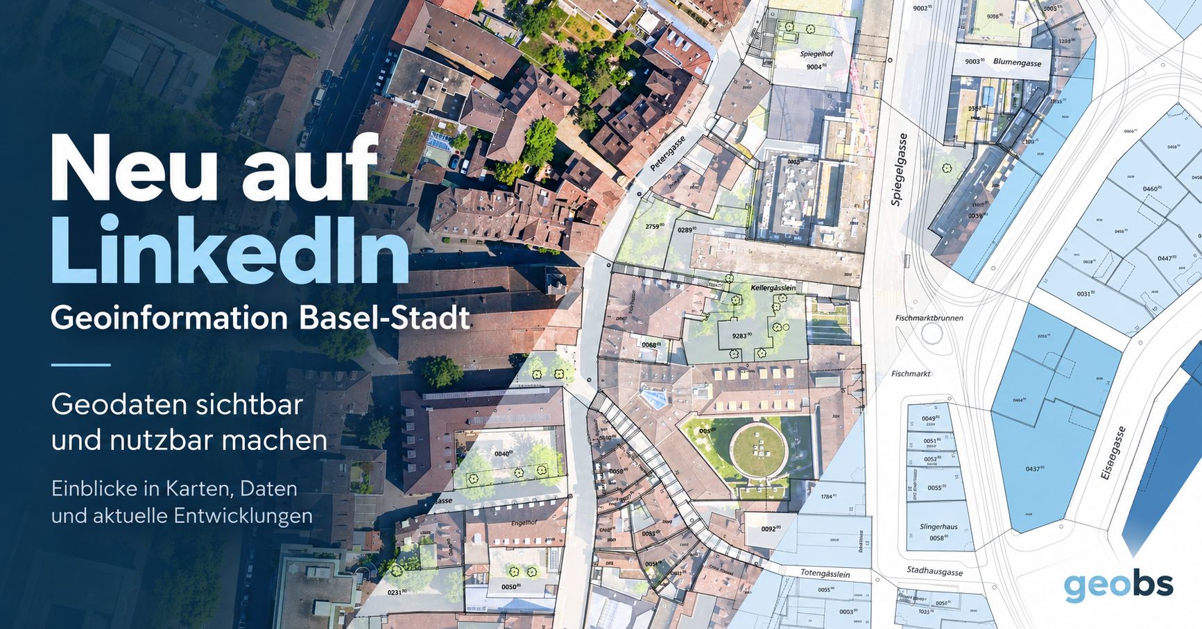
Since this week, the Geoinformation team of the Canton of Basel-Stadt has a LinkedIn presence. From their first post:
Geoinformation Basel-Stadt is now on LinkedIn! On this channel, we provide an insight into the latest developments and show:
📍 what’s changing with MapBS, MapBS 3D and the geoportal 🔌 which geoservices and APIs are available 🧭 how geodata can be used in planning and administration 📊 which new datasets are being published 💡 how data can be found, combined and reused more easily 🤝 where networking and shared data use create new opportunities
Our LinkedIn channel is aimed at planners, architects, GIS specialists, developers, specialist agencies, universities and partner organisations, as well as anyone with an interest in geodata.
Our aim: not just to provide geodata, but to highlight its benefits.
This is a welcome addition to the other cantonal geoinformation offices that have a similar presence:
- Geneva: Système d’information du territoire à Genève (SITG)
- Thurgau: Amt für Geoinformation Kanton Thurgau
- Zug: Amt für Grundbuch und Geoinformation Kanton Zug
Always nice to see additions to the geospatial online ecosystem (and the broader “digital” and “data” ecosystem), as any exchange among professionals in our industry is valuable. Let’s build smart networks.