Chris Holmes, founder of the Cloud-Native Geospatial Foundation and working at Planet, has published an interesting and personal account of how Portolan, the serverless SDI1 has come to be: “A personal introduction to Portolan”.
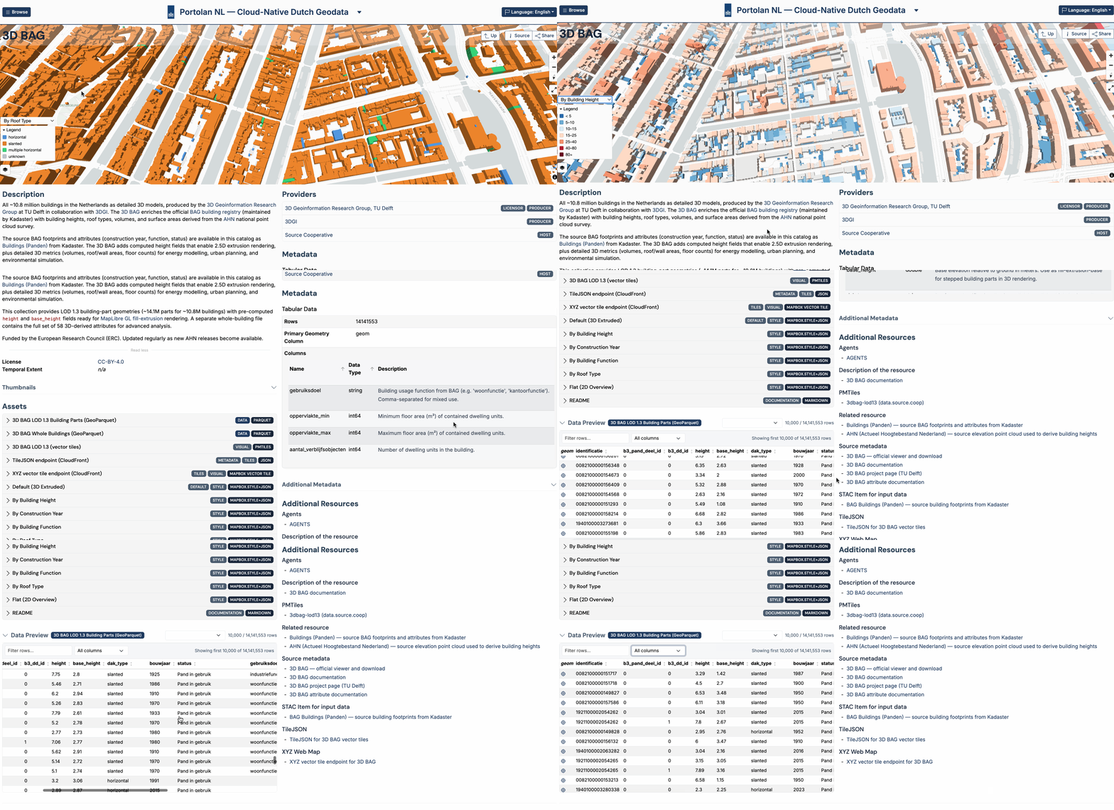
The article touches on Chris’s early work on GeoServer, on cloud-native formats such as GeoParquet2, COG3, and Zarr4, and respective tooling, and finally on Portolan, a project to enable serverless SDIs that share cloud-native geodata broadly, in a human-friendly and AI-enabled form.
From the article:
So my more ‘modest’ hope for Portolan is that it greatly accelerates the adoption of CNG formats by the geospatial industry, and the standard way to share geospatial information becomes to put a GeoParquet, COG, COPC5 or Zarr in a bucket and include the appropriate
catalog.json/readme/agents.mdfile. […]But the bigger goal I have for Portolan is to realize the vision of all the Spatial Data Infrastructure dreams of the past – to finally make the world’s fundamental geospatial information available and accessible to all. I believe this is now a tractable problem that can be solved, by leveraging AI in a couple of key ways.
Recommended reading if you are interested in SDIs, or even operate one.
Footnotes
Spatial Data Infrastructure: a framework of technologies, policies, and standards that enables the discovery, access, and sharing of geospatial data.↩︎
GeoParquet is an open-source specification that adds interoperable geospatial types to Parquet, enabling efficient storage and columnar access of vector geodata.↩︎
Cloud-optimized GeoTIFF↩︎
Zarr is an open, cloud-native format for storing large, chunked, N-dimensional arrays, commonly used for gridded and multi-dimensional Earth observation data.↩︎
Cloud-optimized point cloud↩︎