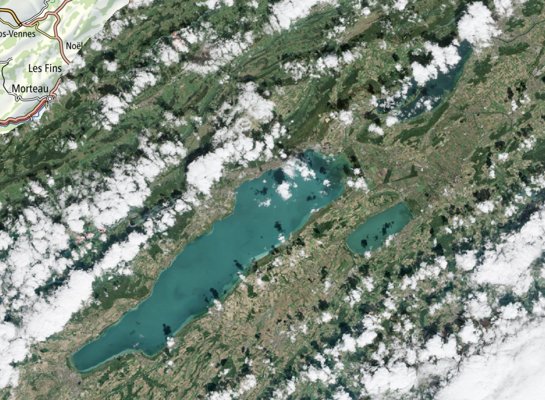
For a while, swisstopo1 has been offering swissEO S2-SR as part of its swissEO data products. The swissEO S2-SR product is a Sentinel-2 surface reflectance product at spatial resolutions of 10m, 20m, and 60m that has been atmospherically corrected and is suitable for various applications, including land cover mapping, vegetation monitoring, and environmental analysis.
Now, swisstopo bumped swissEO S2-SR from version 100 (which is still available until the end of 2026) to version 200. This version brings the following improvements, among others the following new or improved features:
Full band coverage: All 13 Sentinel-2 bands (B01–B12 plus AOT) are now processed at their native resolutions and made available as individual COGs2.
Shorter latency: The data is now available 10 to 24 hours after acquisition, rather than after around three days.
New cloud and terrain shadow mask: Cloud and shadow detection is now carried out using OmniCloudMask using a neural network-based approach. The terrain shadow mask is generated using HORAYZON.
Scene classification: Newly included, with the Copernicus standard classes 0 to 11.
True-colour image: Available independently as a COG.
Forecast and ‘No Data’ orbits as CSVs: The list of upcoming orbits and the days without usable imagery can now be accessed directly via STAC3.
Many nice improvements indeed! swisstopo recommends that existing applications be migrated to v200 soon, and latest by the end of 2026. During the update, special consideration should be given to the newly scaled pixel values of the spectral bands.