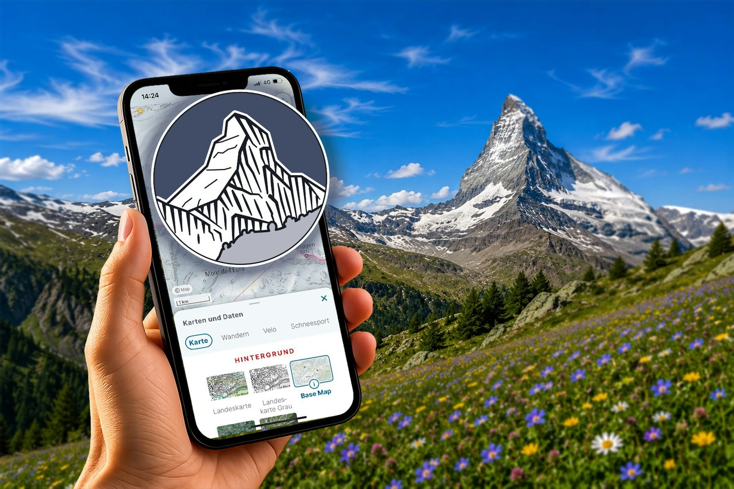
The popular1 app by the Swiss NMGA2 swisstopo receives a few interesting updates:
Inclusion of landmarks
The app’s basemap now features 300 selected landmarks such as famous buildings, towers, peaks, and other natural features. The landmarks are shown as small, stylised symbols on the so called “[New] Base Map” (from a certain zoom level), not on the official National Map. Upon tapping one of the landmark symbols, the app offers more in-depth information, including photos, about the landmark.
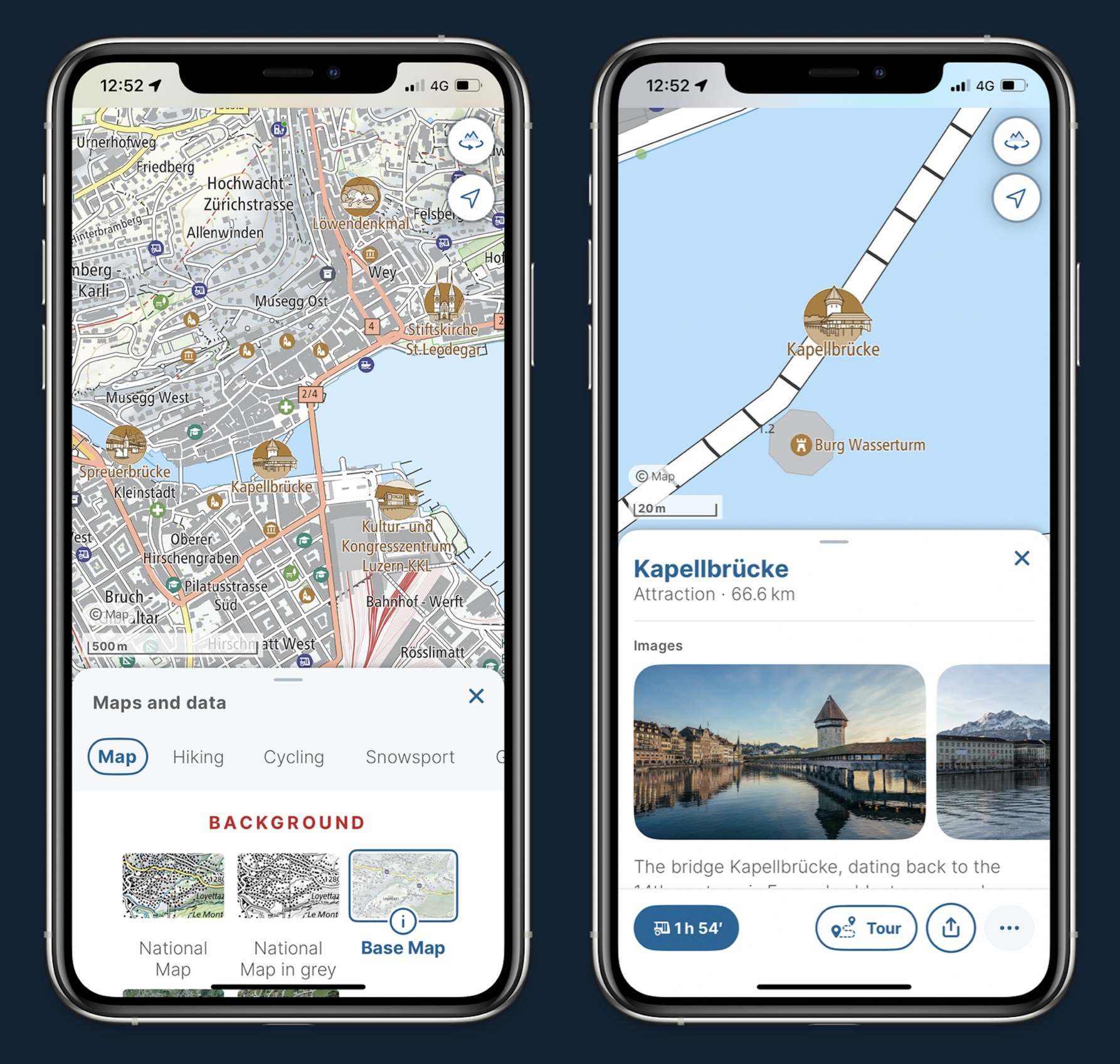
According to swisstopo, the landmarks were selected with how well they aid orientation as criterion3. This features is described in English on the swisstopo website.
Better search
Switzerland being a country with four natural languages, swisstopo has improved search to work cross-lingually: Searching for a placename in the French-speaking part of Switzerland with its German name works (e.g. “Genf” for “Genève” (Geneva)). According to swisstopo, also names with typos or in dialect should work fine. On that last point, searching for “Pizzo Zucchero” (Italian) yields the same result as “Al Pizz Zücru” (dialect). Not revolutionary, but a welcome upgrade, since the data is available.
Route planning
The app’s navigation features have been overhauled: You can now freely choose the starting point and time of a trip – independent of your current location. Additional filters for ascents and descents should make it easier to select suitable routes.
For more information, see the press release in German and in French. No English version has been published (as of yet?), unfortunately, but of course there is a plethora of information on the app available on the swisstopo website.
Footnotes
Since its launch in July 2020, the app has been downloaded more than four million times (Switzerland has a population of 9 million). On a sunny weekend, the app is opened up to 300,000 times a day.↩︎
National mapping and geospatial agency.↩︎
There is a substantial body of scientific literature about how landmarks can aid navigation and memory. And there is also scientific literature about salience of landmark for navigation, for example Caduff and Timpf (2008), but I suspect a more pragmatic approach involving local knowledge has been used in the case at hand.↩︎