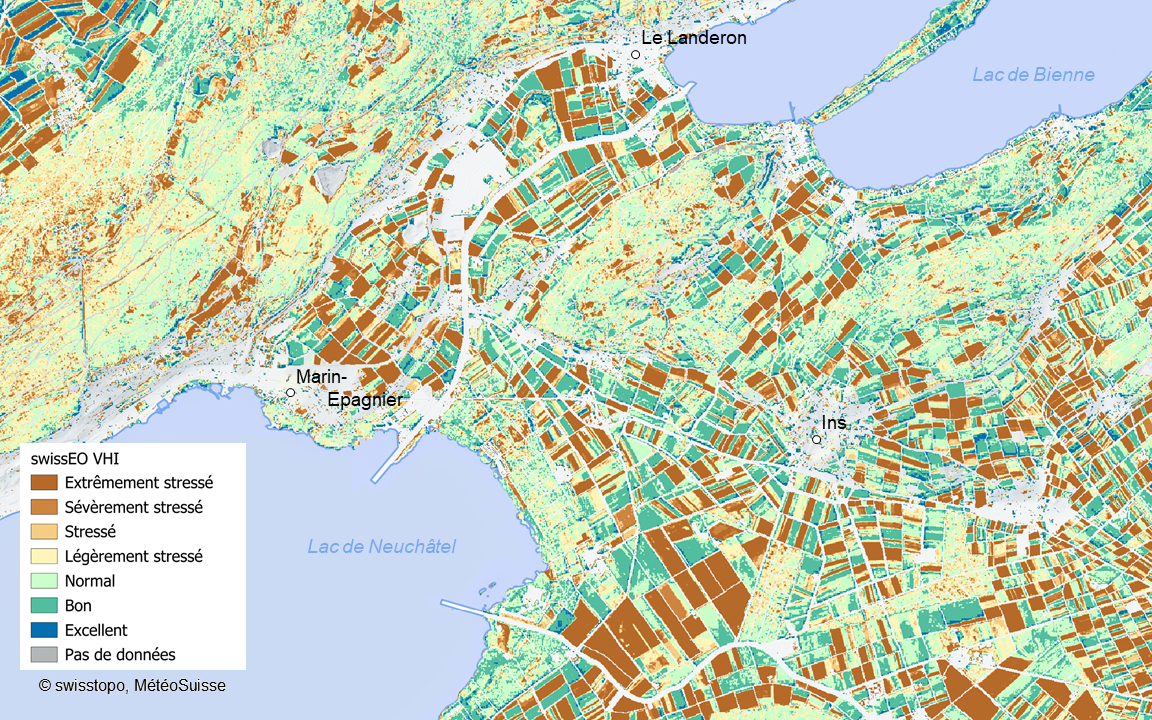
On December 5, 10:00–11:30, swisstopo will host1 a colloquium focusing on a use case for high-resolution satellite data. The topic is “From Satellite Pixels to Forest Stress: swissEO Products for Real-time Environmental Monitoring”.
The colloquium will offer a look at an operational EO product pipeline with the following characteristics:
- Products: Focus on swissEO S2-SR (Sentinel-2 Surface Reflectance2) and swissEO VHI3.
- Backend: The backend uses Google Earth Engine, Github Actions, and open-source software.
- Delivery: Cloud-native formats served via a STAC interface4.
- Application: A collaboration between swisstopo, MeteoSwiss, and the Federal Office for the Environment (FOEN), the derived data is used in platforms like waldmonitoring.ch and TreeNet.

Event details are available in German and in French. The presentations will be in German and in French.
Footnotes
Exclusively on site, not online.↩︎
The S2-SR product corrects for atmospheric effects, making the data useful for time series analysis and direct comparison.↩︎
VHI or Vegetation Health Index is a combination of Vegetation Condition Index (VCI) and Temperature Condition Index (TCI), often used for drought monitoring.↩︎
STAC stands for “SpatioTemporal Asset Catalog”, a modern, open specification for cataloging spatiotemporal data.↩︎