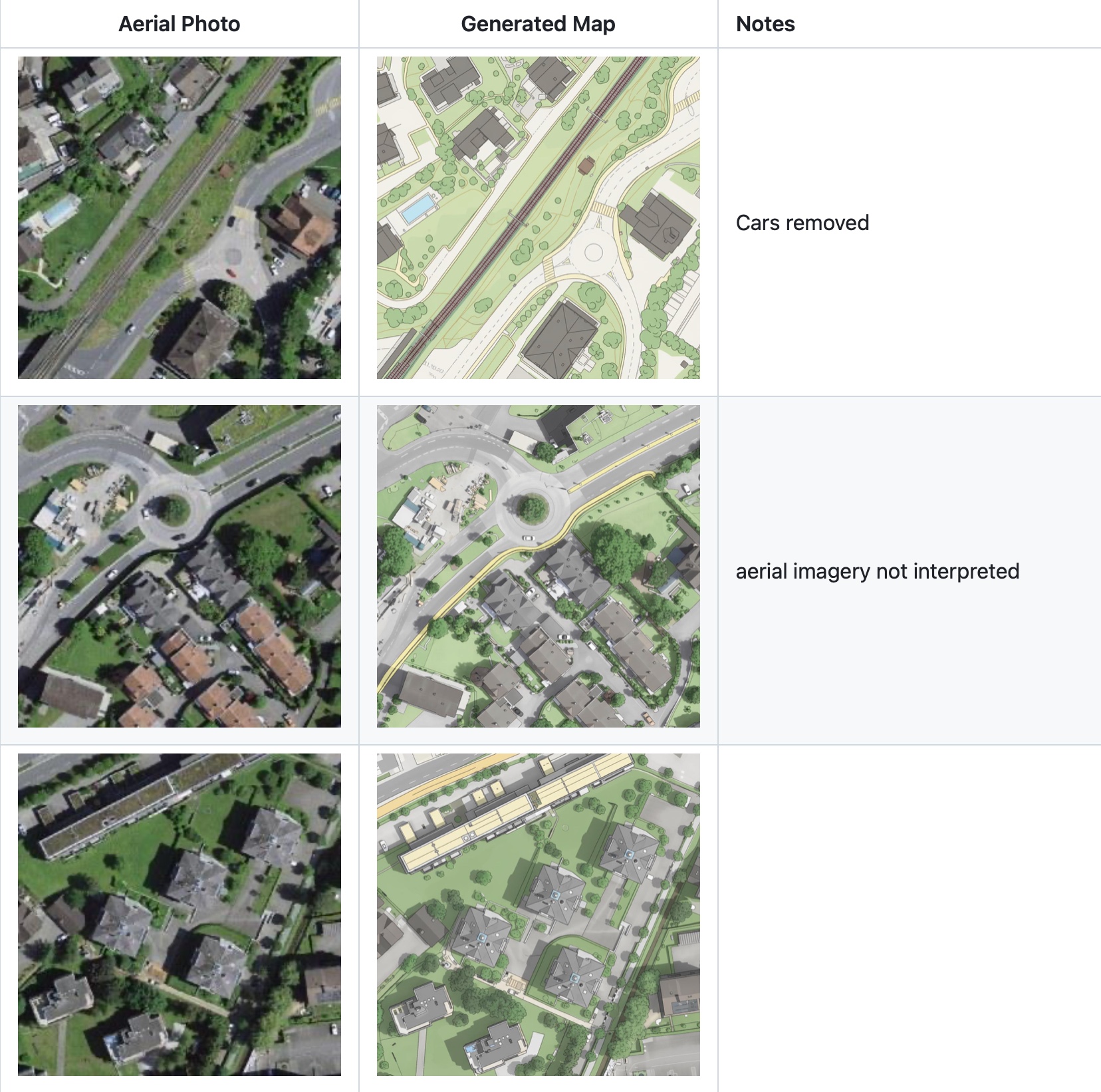
Roughly two weeks ago, David Oesch (previously) published an experiment in vibe cartography. Now, David has open-sourced his approach for directly producing a topographic map from aerial imagery using AI1 and his experimental results on GitHub.
The repository enables anybody to reproduce David’s approach (using Python 3.8+ and a Google account) and to maybe collaborate towards the “Future improvements” outlined.

Footnotes
Specifically, a large language model (LLM) and a large multimodal model (LMM).↩︎