It feels like there is a gap in low-code1 geospatial data manipulation tooling:
- There is, of course, Safe Software’s very prominent state-of-the-art commercial offering FME2.
- There used to be GeoKettle3. “Used”, since the last release was 10 years ago.
- There is the QGIS model designer4 and the proprietary equivalent by Esri, ModelBuilder.
- There is the, decidedly non-visual, Gradle-plugin GRETL5 by the canton of Solothurn.
- There is KNIME, if you will, albeit not truly geared towards geospatial data.
- And there is Apache Hop6.
While some of these seem promising7, so far, none of these tools seems to really be able to scratch the itch for which many organizations reach for FME.
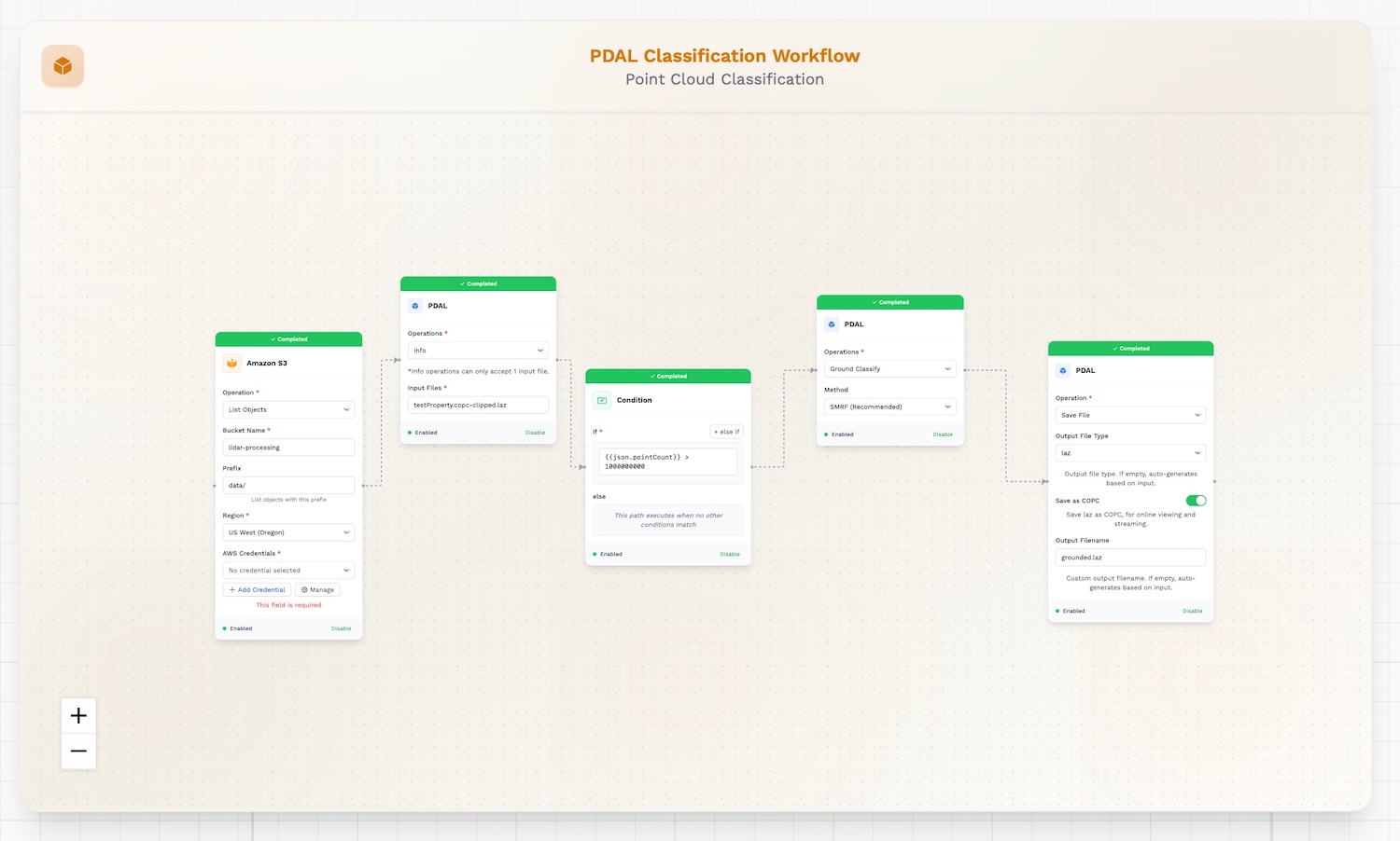
But there is a new potential contender, as announced here: Geoflow is a set of tools for automating geospatial data workflows.
It sports a visual interface (“Visual Workflow Builder”) and is being developed as an open-source solution. Make sure to check the “Platform Overview Video”.8
As the counter on the site suggests, Geoflow has been under development for only a few weeks. So: definitely early days, but maybe a space to watch. It might lead to an interesting and sustainable open-source geospatial ETL9 solution.
